GPS-Mate
GPS-Mate is used for mapping digital and scanned maps. It also records and tracks your tours by offering the following functions which can all be used on your PDA, mobile navigation system (PNA) or even your smartphone without the need for a PC.
Besides maps satellite images and site plans can be imported. Visitors and service staff quickly find the location where they want to be.
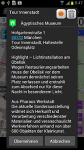
Points-Of-Interest allow the marking and description of these locations.
Mapping Features:
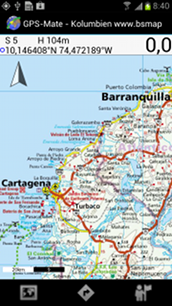
- Mapping of digital and scanned maps, satellite images and site plans
- JPG, GIF, PNG, BMP-maps in arbitrary size (only limited by the storage card)
- GMM maps
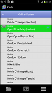
- Show the OpenStreetMap, OpenCycleMap, OpenSeaMap, Google Maps and VirtualEarth
- Show the OpenMaps offline
- Find a location to easily locate places on your topographic maps
- Easy to use, powerful calibration of maps on the PDA, no PC required
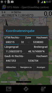
- Calibration graphically in the maps or by entering coordinates
- Reference points can be easily changed and adjusted on the PDA
- Reference points can be the current position, distinctive tour points or can be entered in WGS84 or UTM coordinates
- Export of calibration data
- Rotation of maps is accounted for
- Quick and easy managing of maps and tours
- Vertical/horizontal split view selectable
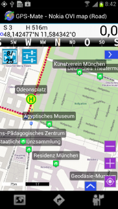
- Scale overlay selectable
- UTM grid overlay selectable
- North arrow selectable
Tour Features:
- Recording of tours as well as a destination finder. You will always find our way back!
- Tour planning on your device (no PC required!)
- Statistics: Position, height, speed, distance, time/date, satellites and average speed are recorded
- Place a destination marker: destination finder by direction and distance
- Roadbook navigation
- Height and speed profiles
- Time2Pos function: You want to know when you have been where or where you have taken a photo with timestamp
- Export to Google Earth (KML), GPX and GIS/ESRI tools
- Import of Google Earth (KML), GPX, LOC and GIS/ESRI files
- Track colour selectable
- Several view settings
POI/GeoCaching Features:
- Place POI's in the map
- Place POI's by entering coordinates
- Edit POI name and text
- Import POI's from LOC, GPX or KML files
- Navigation and destination guidance to the POI's
- Add your own POI icons: simply copy them to the PDA/PNA (39 icons are predefined)
Miscellaneous:
- Supports NMEA 0183 GPS receivers
- Screen rotation (portrait/landscape) [240x240 upto WVGA] full screen mode, actively supports full WVGA resolution for sharp, detailed maps
- Manager for coping with many maps and tours as well as automatic storage card detection and management
- Control the main functions with keys
- Metric, imperial (miles, mph) and nautical (flying, sailing) units
- GPS info: satellites, NMEA
- Static navigation can be turned off for hiking
- Online help
- Compatibility between PDA, PNA, Smartphone and Windows version
- German and English language
System requirements:
- PocketPC PDA with Microsoft PPC2003 (SE) or Windows Mobile 5.0 OS
- Internal or external GPS receiver (Bluetooth, CF or sleeve)
- PNA with Windows Mobile or Windows CE.NET or higher
- Smartphone with WIndows Mobile for Smartphone OS
- No runtime environment or other additional tools
Additional features of the next version:
- Backlight control
- Further distance measurement functions
 GCacheMate